Locating in Tai Mo Shan, the highest peak of Hong Kong, Ng Tung Chai is a nice hiking trail emerging in a quiet wild nature along a stream with several waterfalls and catchment areas. It is probably the only trail in Hong Kong where you can be so close to the falls.
Starting from Ng Tung Chai village
Ng Tung Chai village is one of the most popular starting point where accessible by bus (64K) and minibus (25K) from Tai Wo MTR station, get off at “Ng Tung Chai” village. Simply walk through village towards the hill side. There is one and one public toilet in the village. As you walk through the village, you will see a sign towards Man Tak Temple (萬德苑), the name is in Chinese but you probably won’t miss the only directional sign to turn left.
Man Tak Temple is a Daoist temple began construction in 1972. The doors were closed and there is no information about opening hours nor how to get in. Just walk past the temple, you will see the trail up the hill.
-

Ng Tung Chai village 梧桐寨村 -
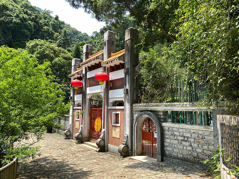
Man Tak Temple 萬德苑
Four Waterfalls and More
The hiking path is pretty straight forward. There is only one path until you see a split with directional signs. The first sign you see is the choice of keeping left to the waterfalls or go to Tai Mo Shan (no waterfalls) on the right. It’s a no brainer choice!
- Bottom Fall is a small fall you see.
- The Middle Fall is more dramatic.
- The 35 meters tall Main Fall (Ng Tung Chai Fall) is the most dramatic.
- Scattered Fall (Shan Fat Fall)
This trail was called Hong Kong’s best-kept-secret trail but that’s probably just the weekday scene. While the hiking route is not packed with people, all tourists gathered to take photos at all waterfalls for half an hour! It is not easy just to take a quick photo and go.
All waterfalls are on the left-hand-side when you hike up. After you finished checking Shan Fat Fall, you still have to go up a bit more (another 100M or so) before you can walk through a bamboo forest area and head down.
-

Ng Tung Chai hiking trail 梧桐寨行山徑 -
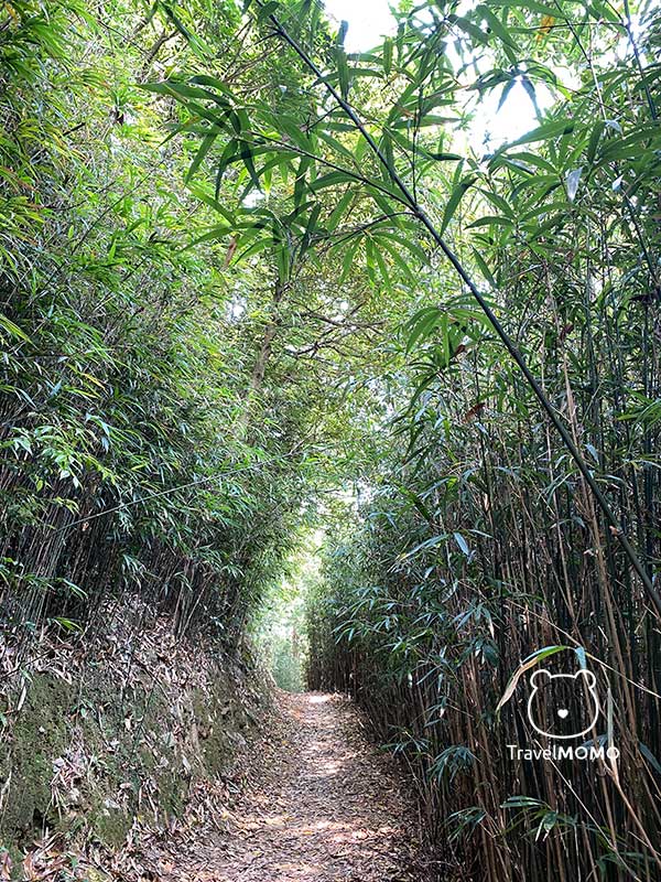
Bamboo forest 竹林 -
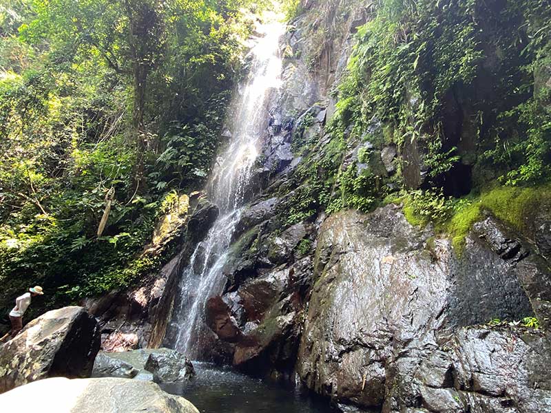
Middle Fall 中瀑
Many bloggers rate this a relative easy hiking path and claimed to finish in 1.5 hours. That’s a non-stop mountain runner’s speed, I think. I would rate it a medium level hike because of the steep elevation, rocky narrow path and big steps. There are sections where you have to use both hands to keep the balance and hold on to steel chains. It is a climb from 100m to over 520m! (The Victoria peak of Hong Kong is only 552m). I would not call it an easy hike and certainly not for toddlers and small children.
Having said that, it is a unique waterfall hiking path in Hong Kong and you certainly get to explore the wild side in a relatively safe manner. It takes about 2.5hours depending on how many stops (and how long) you make.
-

Scatter Fall (Shan Fat Fall) 散髮瀑布 -
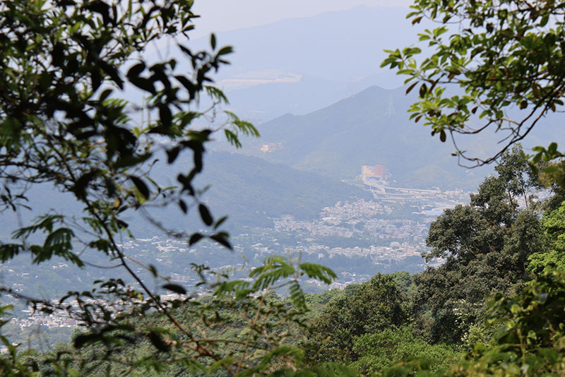
A view of Tai Po on the trail 行山徑可以遠看大埔 -
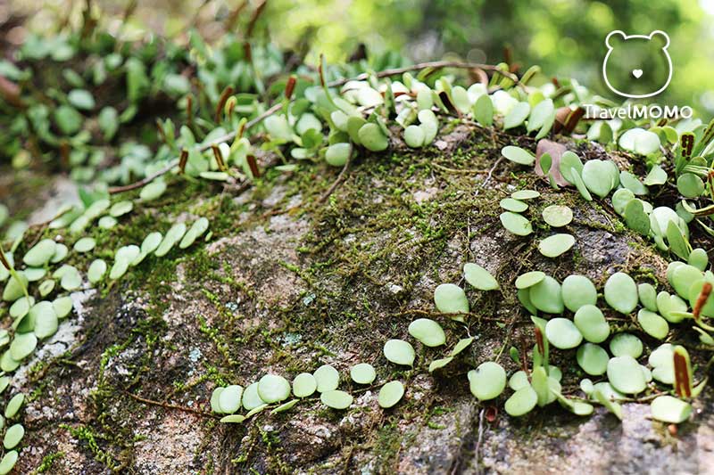
The mountain is flora and fauna rich 山徑沿途有多種植物 -
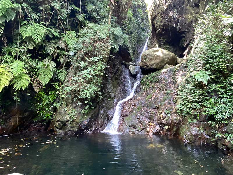
Bottom Fall 井底瀑布 -
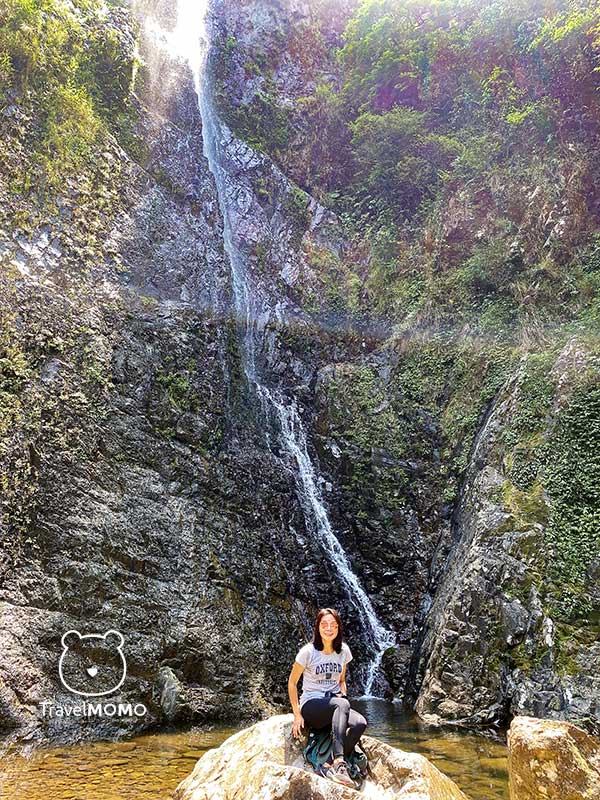
Ng Tung Chai main waterfall 梧桐寨瀑布
Route Map & Elevation Guide of Ng Tung Chai Waterfall Hike


Transportation & Tips
From Tai Wo MTR station, take bus 64K to Ng Tung Chai (around 45 minutes) or minibus 25K (around 40 mins).
There is no grocery stores or shops selling food and drink in Ng Tung Chai. So please buy water/food at Tai Wo station. Hiking gloves, waterproof hiking shoes and mosquitos repellent are recommended. Beware of slippery rocks and water level at the waterfalls.


Comments are closed.